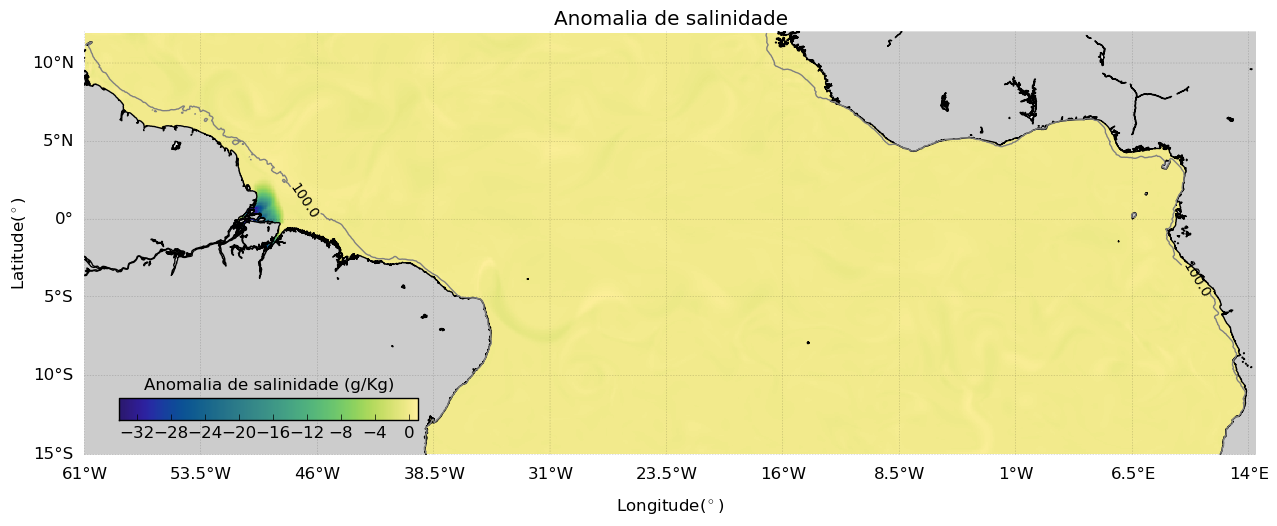
Salinity anomaly for the model.
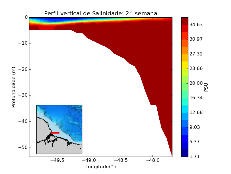
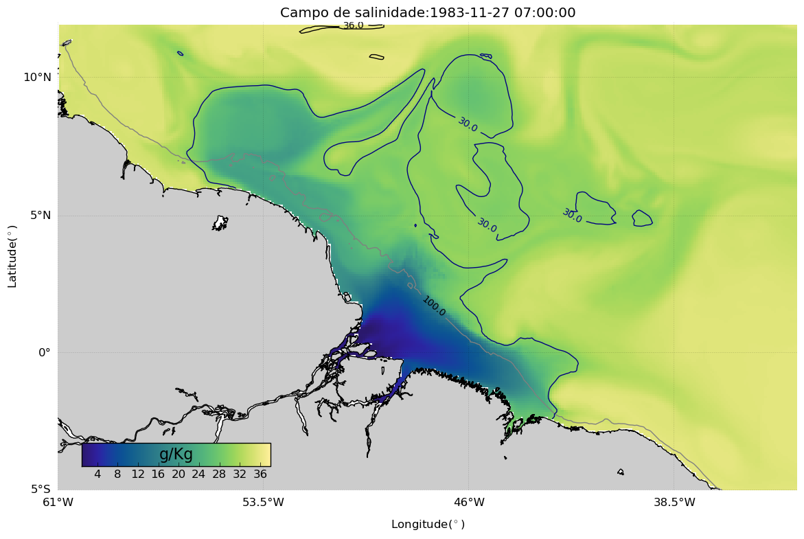
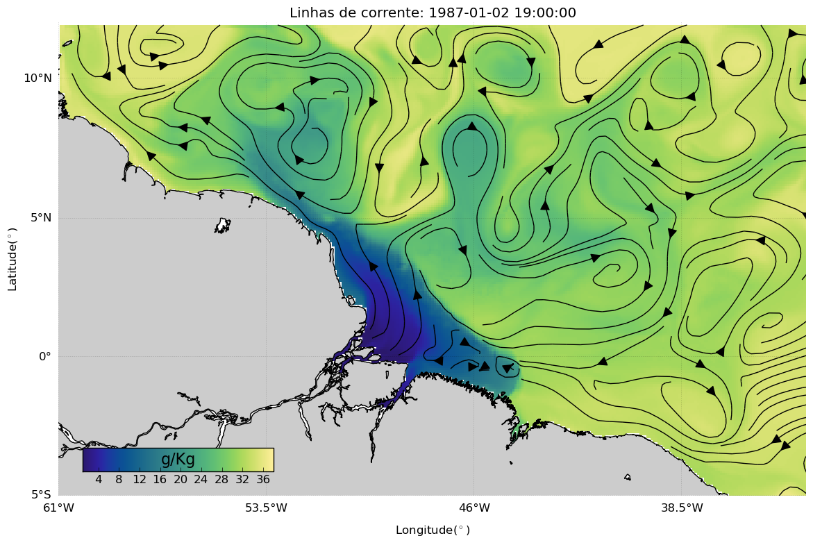
The model used was ROMS (Regional Ocean Modeling System). It was an ocean eddy resolution. The domain was from 61W-14.5E and 15S-12N. We added the 5 main rivers for the region: Amazon(AM), Tapajos (AM), Tocantins (PA), Pindare (MA) and Mearim (MA). Initial and Boundary conditions for the ocean were taken from SODA 5-day and CFSR-NCEP every 6 hours.
Source: Fagundes et al., 2018.